MapQuest has added an optional layer to its mobile app that displays known outdoor surveillance cameras and automated license-plate readers. The feature puts camera locations directly on the service’s map, giving users a way to see where monitoring equipment has been identified in their neighborhoods and along routes.
The layer includes cameras associated with Flock Safety, a prominent supplier of networked license-plate readers. According to reporting by Engadget, it also covers equipment from Motorola Solutions’ Vigilant business, Genetec, Axis Communications, Axon, Leonardo’s ELSAG operation, Neology, Rekor, PlateSmart, Ubicquia and Verkada. The map therefore extends beyond a single vendor or camera technology.
Users can switch the layer on from the same part of the app that provides traffic and incident overlays. That placement makes the surveillance view a standard map option rather than a separate research tool. The supplied evidence does not explain how MapQuest collects, verifies or updates each location, so a marker should be understood as a known listing rather than a guarantee that a device remains installed or operational.
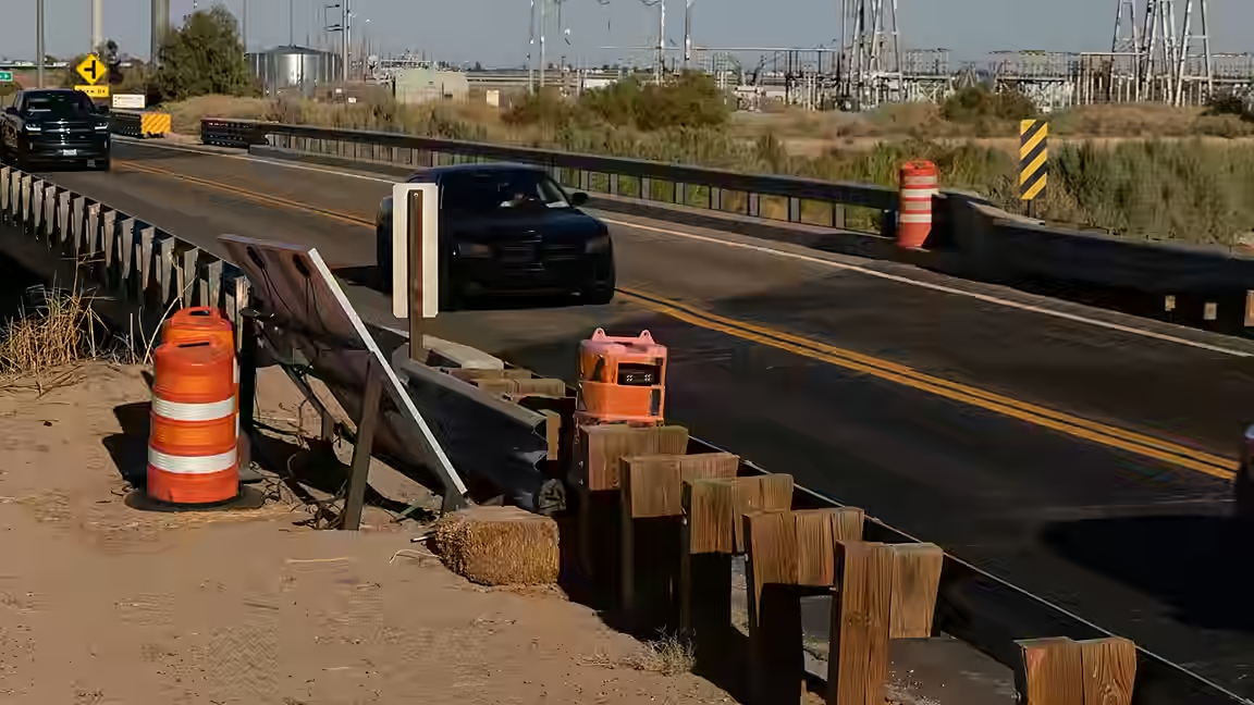
The update gives ordinary users a visual reference for infrastructure that can otherwise be difficult to recognize. License-plate readers are often mounted along roads or at entrances and can blend into other street equipment. Plotting reported installations on a familiar navigation map may help residents understand how densely such systems are deployed, even if it does not allow a driver to avoid every camera on a regular route.
MapQuest’s change arrives amid a broader series of app updates. Engadget reports that the service recently added Android Auto support and public-transit directions. The surveillance layer is different from those navigation features because its main value is informational: it exposes the reported position of data-collection devices rather than calculating a trip.
The feature itself does not establish who owns a listed camera, what information it records, how long data is retained or which agencies can access it. Those policies vary by operator and jurisdiction and would require separate documentation. The map also should not be read as a complete inventory, because the source only describes it as showing known devices.
Still, the new layer makes a previously specialized dataset visible in a mainstream mapping interface. For people concerned about neighborhood surveillance, its practical contribution is context: a route can now be viewed together with reported cameras and plate readers, allowing users to see the physical reach of several commercial monitoring networks in one place.